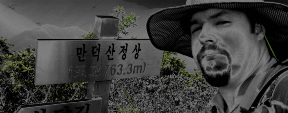
Mandeoksan from the west
You may remember last year when I mentioned how much of a ______ going up the east side to get to HL/JB-058 만덕산 was….sliding up shale, etc, etc….well, though I technically took the better trail up this time, I actually didn’t, having taken the wrong fork not very high up. The result of which was going through an open field trail infested with spiders (you know, by the time August hits, the mommas’ bellies full’o’babies are larger than your thumb), then another shale-y scramble up a deer trail, until finally hitting a decent ridgeline trail.
This time also, I took the 857 since it was a weekday….need the extra push, sometimes. It was worth it, getting some contacts farther out to the south and northeast. Getting up to the summit, it looked like someone had been doing some trimming up there, and signage needs a slight upgrade…. Using the 5s GP, quick work was made for the activation, it was after all, a school day, no time to fool around.
Descent was accomplished via the correct trail, which will be remembered for next time. Maybe next time will be fall or winter, when a machete wouldn’t be necessary…
GN-007 鷄冠峰 on 20101017
Alas, I’m back out in the wild again after a couple weeks’ worth repos–I went down to Hamyang to check out this less frequented ten pointer called Gyegwansan. This area is quite convenient for me, as just recently (at the end of 2007) this new section of highway 20 was opened–it goes right from Iksan IC (technically, Iksan JC, 2 km south of Iksan IC on the 25) down to the 35 at Jangsu, in the heart of the mountains, at the bottom of Deogyusan National Park, and likewise this area makes good apple country.
–utz! Not so quick, there! For a few reasons:
Finding the trail head wasn’t an easy task, in fact, going up, I didn’t find it. I was half following a deer track (with some recent prints), some gullies, and found an older marked path (white paint on trees) which may be what was on my older map on the gps…after about 200m of ascent (up to about 700/800m) I finally found “the real” trail, or at least, that which is most beaten and ribboned.
The other trail was passable, though slightly overgrown, and more difficult in some places (even though it ran 50-100m down the hill parallel to the beaten path). Maybe two minutes after getting on this main path, did I come across an older couple out looking for 산채, wild mountain veggies. They asked me why I was going up so early (it was already an hour after sunrise)…ahem, I almost didn’t make it down to the car before sunset!
As of April 7, 2009, Hamyang-gun (county) announces the change of Goaegwansan 괘관산(掛冠山) to Daebongsan 대봉산(大鳳山), additionally of Cheonhwangbong 천황봉(天皇峰) to Cheonwangbong 천왕봉(天王峰), and naming of the western peak as Gyegwanbong 계관봉(鷄冠峰).
This is to reflect locally familiar names to this mountain and its peaks, as well as nomenclature of Korean origins, whereas Goaegwansan and Cheonhwangbong were assigned during Japanese colonial rule, Cheonhwang 천황 giving hommage to the Japanese Emperor, as opposed to Cheonwang 천왕 to the Korean. Gyegwanbong refers to the shape of the mountain’s profile which resembles a chicken’s crop.
국토지리정보원 제2009-239호


